High Way Explorer est votre destination privilégiée pour tout ce qui concerne les véhicules.
Découvrez
les dernières nouvelles, les critiques approfondies et les connaissances sur les voitures, les motocyclettes et les produits connexes.

Découvrez les généralités de notre entreprise
Restez informé des dernières tendances du secteur.

Exploration de véhicules
Découvrez notre gamme de véhicules pour une conduite sûre et confortable.
Nouveautés et tendances
Tenez-vous au courant des dernières technologies et innovations en matière de véhicules.
Sécurité avant tout
Apprenez-en plus sur les fonctionnalités de sécurité qui peuvent sauver des vies.
Prêts pour l’aventure
Préparez-vous pour les road trips et découvrez les meilleurs itinéraires à parcourir.
Pourquoi Choisir High Way Explorer?
High Way Explorer est l’endroit idéal pour tous les passionnés de véhicules.
Actualités et tendances
Restez informé sur les dernières nouvelles et tendances dans l’industrie automobile.
Découvrir de nouveaux gadgets
Explorez les dernières innovations en matière de gadgets pour améliorer votre expérience de conduite.
Conseils de sécurité
Apprenez les meilleurs conseils pour assurer votre sécurité sur la route.
Produits pour l’automobile
Découvrez les produits les plus récents et les plus performants pour améliorer votre véhicule.

Découvrez Nos Services
Des actualités récentes, des critiques approfondies et des aperçus éclairants sur les voitures, motos et produits connexes.
Critiques de véhicules
Actualités et tendances de l’industrie
Sécurité sur la route et conseils
Protections à valeur ajoutée et bonus
Rejoignez notre communauté
Inscrivez-vous pour recevoir les dernières mises à jour et être informé en avant-première.

F.A.Q.
Foire aux questions
Il est essentiel de garder votre véhicule en bon état en effectuant régulièrement les entretiens recommandés par le fabricant, en surveillant les niveaux de fluide et en nettoyant l’intérieur et l’extérieur pour éviter la rouille et la dégradation.
Nous couvrons une variété de véhicules, y compris les voitures, les motos, les VTT et les véhicules récréatifs, ainsi que des produits et des événements liés à l’industrie automobile.
Outre l’entretien régulier, il est important de suivre les règles de sécurité routière, d’installer des équipements de sécurité tels que des sièges d’auto pour enfants et des systèmes de navigation, et de choisir des véhicules dotés de fonctionnalités de sécurité avancées.
High Way Explorer propose des articles et des mises à jour régulières sur les tendances de l’industrie, les nouveaux produits et les innovations en matière de véhicules.
Consultez nos derniers articles de blog pour rester à jour sur l’univers des véhicules.
Restez informé sur l’actualité automobile et motocycliste en consultant nos derniers articles sur High Way Explorer.

Top attelages recommandés pour maximiser votre seat !
Maximiser votre Seat passe par le choix d’un attelage adapté à vos besoins spécifiques. Ce[…]

Boostez votre image avec le covering de véhicules pros !
Transformer vos véhicules professionnels en supports publicitaires mobiles booste efficacement votre visibilité. Le covering offre[…]

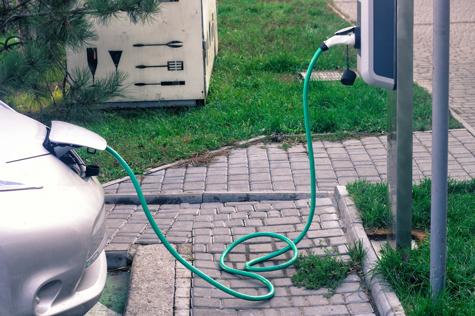
Blog automobile : les défis de la mobilité électrique en 2025
La mobilité électrique en 2025 représente un tournant incontournable pour l’industrie automobile. Les défis ne[…]
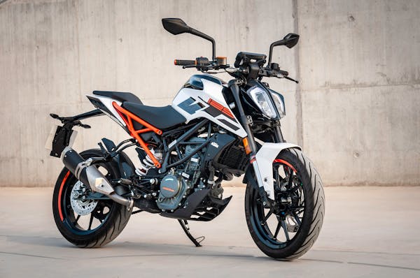
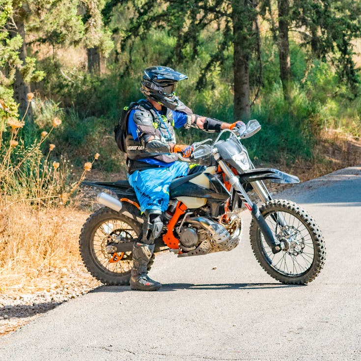
Découvrez le kit déco moto qui fera tourner les têtes !
Transformez votre moto en un véritable chef-d’œuvre avec le kit déco qui attire tous les[…]
Le guide ultime pour choisir le pneu 205 55 r16 idéal
Choisir le bon pneu 205 55 R16 peut transformer votre expérience de conduite. Ce guide[…]
Location de voiture à Nîmes avec VEO Location
La location de voiture à Nîmes est une solution idéale pour se déplacer en toute[…]

Adoptez le scooter électrique : une nouvelle ère de mobilité
Êtes-vous prêt à révolutionner votre façon de vous déplacer en ville ? Si vous avez[…]

Trouver un serrurier voiture à Compiègne : guide utile et pratique
Rencontrer des problèmes de serrurerie avec votre voiture peut être frustrant. À Compiègne, trouver un[…]

Découvrez la meilleure selection de voitures hybrides suv d’occasion
À la recherche de la voiture parfaite qui allie écologie et performance ? Les SUV[…]

Location véhicule utilitaire : options flexibles et économiques
La location de véhicules utilitaires offre des solutions flexibles et économiques adaptées à divers besoins.[…]
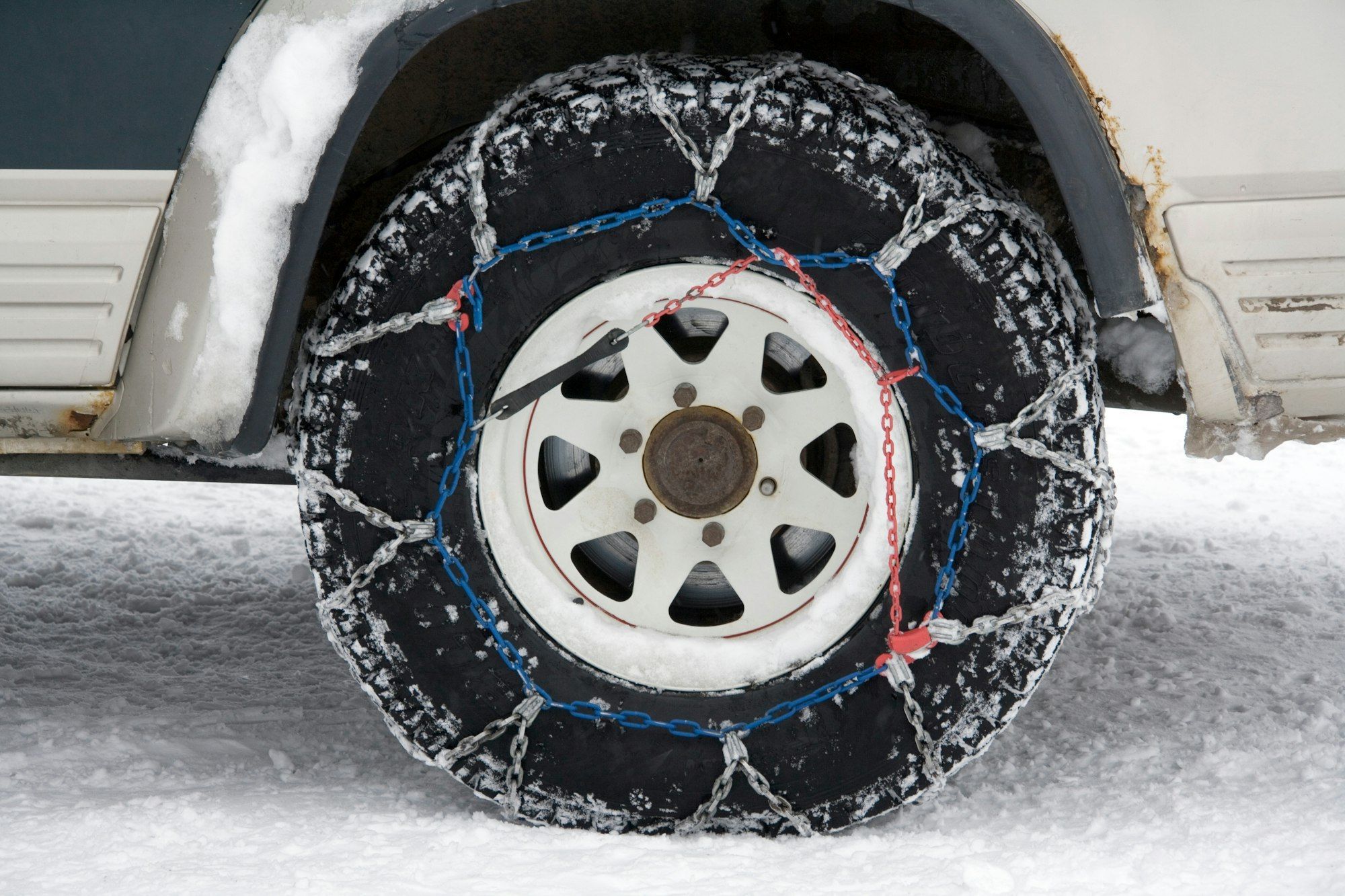
Les meilleures chaînes et chaussettes michelin pour l’hiver
Les conditions hivernales peuvent se révéler périlleuses, rendant indispensables les chaînes et chaussettes Michelin pour[…]

Guide complet sur le shifter moto et son utilisation
Le monde des deux roues bénéficie également des avancées technologiques récentes, notamment le shifter. Il[…]

Obtenez votre permis pas cher
Économisez 35% sur votre permis de conduire avec lePERMISLIBRE! Cette plateforme en ligne révolutionnaire offre[…]
Scooter électrique 50: autonomie et confort en ville
Naviguer en ville avec un scooter électrique 50cc combine autonomie impressionnante et confort de conduite[…]

Quelques bonnes raisons de louer une voiture de tourisme pour tous vos déplacements
Pour tous les déplacements, prendre votre voiture nécessite des révisions, des entretiens et des fois[…]

Comprendre et résoudre la panne de l’injection clio 3
Votre Clio 3 montre des signes de faiblesse au démarrage ou des perturbations de performance[…]

Taxi à Draguignan les Arcs: voyagez en confort et sécurité
Les taxis à Draguignan les Arcs garantissent des trajets confortables et sûrs. Découvrez une flotte[…]

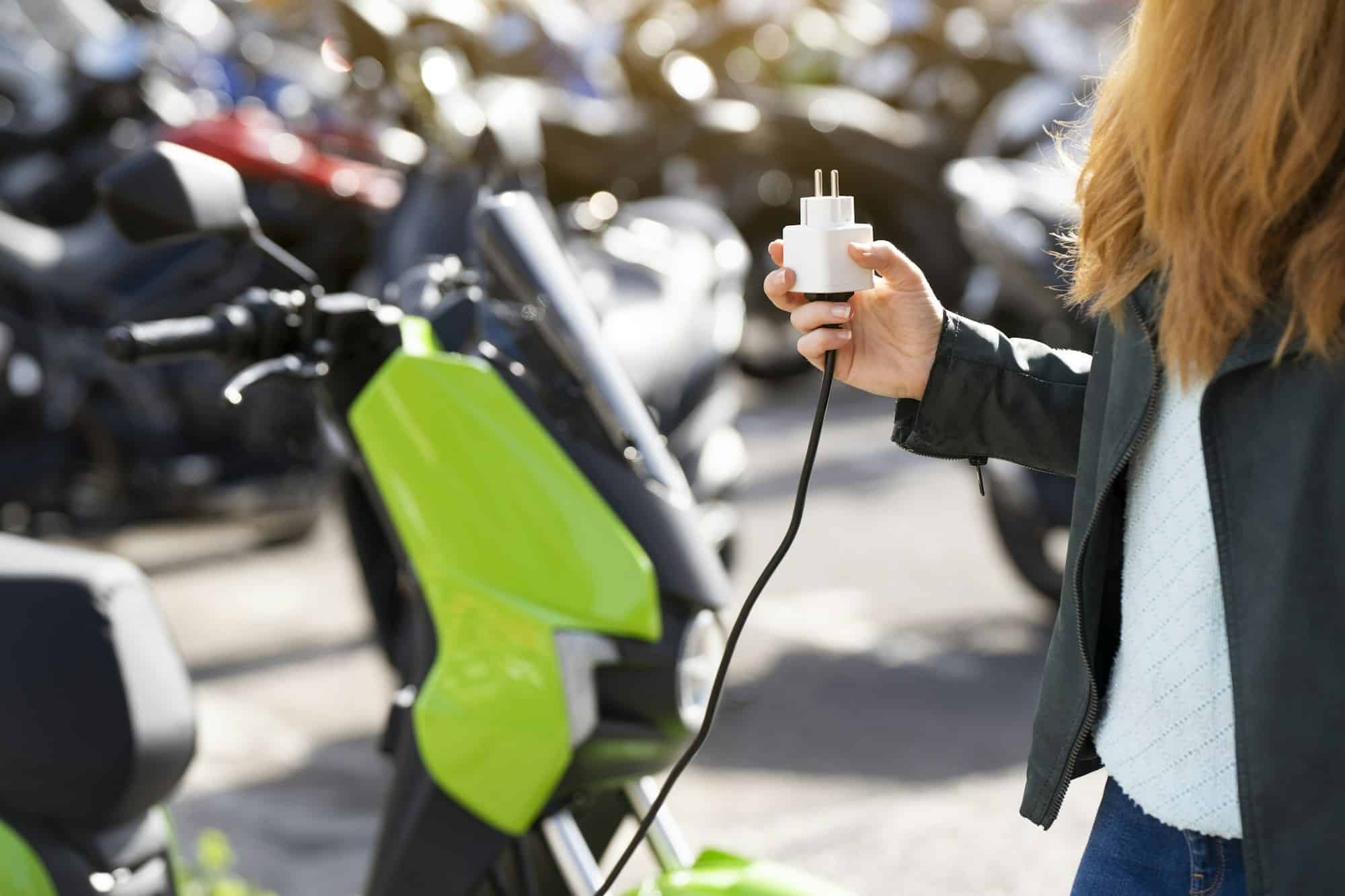
Scooters électriques : avantages et impact environnemental à découvrir
Les scooters électriques révolutionnent notre façon de nous déplacer. Découvrez leurs nombreux avantages : réduction[…]
Guide d’achat wallbox : recharge électrique à domicile
La transition écologique s’accélère et votre véhicule électrique mérite ce qu’il y a de mieux[…]

Location utilitaire : votre guide complet
Face à la diversité de choix et de conditions, la location d’un utilitaire peut devenir[…]